Uninitiated visitors to the Hamptons and North Fork have likely heard the term “East End” strewn about newspaper articles, magazine features and conversations with the locals every day with only the faintest idea of what it means. The East End comprises the five towns at the easternmost end of Long Island–East Hampton, Southampton, Southold, Riverhead and Shelter Island. With the number five playing such a key role in the identity of this area, it’s safe to assume it pops up in numerous significant and curious places across this land of opulence and natural beauty.
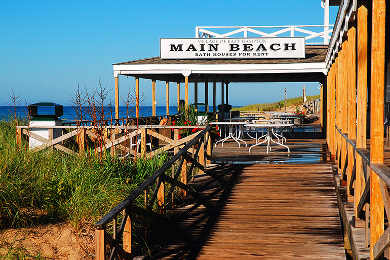
Number of East Hampton Village beaches: 5
Percentage of Southampton Town residents under the age of 5: 5.2%
Listing price of a five-bedroom home with a private beach on Napeague Harbor in 1975: $85,000
The median home sale price in 2015 when Business Insider named Sagaponack the most expensive zip code in the country: $5,125,000
Approximate travel time of ferry from North Haven to Shelter Island: 5 minutes
Fishers Island Union Free School District’s student-teacher ratio: 5 students per teacher
Total area of Quogue: 5.0 square miles

Land area of Orient: 5.1 square miles (6.1 square miles total)
Water area of Hampton Bays: 5.2 square miles (18.1 square miles total)
Time zone the East End observers: UTC-5 (Eastern)
Year rock band Circa Survive released the song “Meet Me in Montauk” and punk band Bayside released the song “Montauk”: 2005

Air date of the Will & Grace episode “Dance Cards & Greeting Cards,” which was set at a fictional Shelter Island country club and introduced the Shelter Island Republican Party: 2005 (the 155th episode of the show)


